Reading Cloud Formations: An Explainer for Landscape Journalers
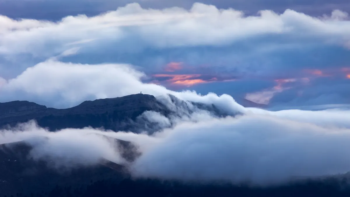
Every landscape has a ceiling, and most journalers leave it blank. You spend twenty minutes getting the ridge line right, then write "cloudy" and close the book. But the sky is the part of the view that changes fastest and says the most — about the hour you're standing in, about what's coming, about the light landing on everything below. Learning a handful of cloud names gives you a vocabulary that pays off every single session.
You don't need to memorize a meteorological atlas. You need four things you can notice in about five minutes: how high the cloud sits, what shape it takes, what color it turns, and what it does next.
Start with height, not names
Clouds are grouped by altitude, and that grouping does most of your descriptive work for you. Say "high" and a reader already pictures something thin and far off. Say "low" and they see a lid.
- High clouds — roughly above 20,000 feet in temperate latitudes. Thin, streaky, often white. Made of ice crystals rather than water droplets.
- Middle clouds — somewhere between about 6,500 and 20,000 feet. Soft gray sheets or patches of small puffs.
- Low clouds — below about 6,500 feet. Layered, flat-bottomed, frequently gray. These are the ones that sit on your hill.
- Clouds with vertical build — cumulus and cumulonimbus, which start low and grow upward through the levels. These are the ones worth watching.
Write the level down first. "Low, layered, gray" tells a reader more than "altostratus" ever will if you're not sure of the name.
The shapes you'll meet most often
Wispy and high
Cirrus is Latin for hair, and that's exactly what it looks like — fine white streaks, sometimes hooked at one end, which is why old weather lore calls them mares' tails. When cirrus thickens into a thin milky veil, you have cirrostratus, and you can often spot a faint ring around the sun or moon. That halo is a reliable detail to journal, because it's gone by the time you try to remember it.
Layered and low
Stratus is a flat gray sheet with no texture worth sketching. Stratocumulus is the more interesting cousin: rolls and patches of gray with blue showing between them, the cloud that makes a good sunset. Nimbostratus is the rain layer — thick, dark, featureless, delivering steady precipitation rather than a quick shower.
Heaped and growing
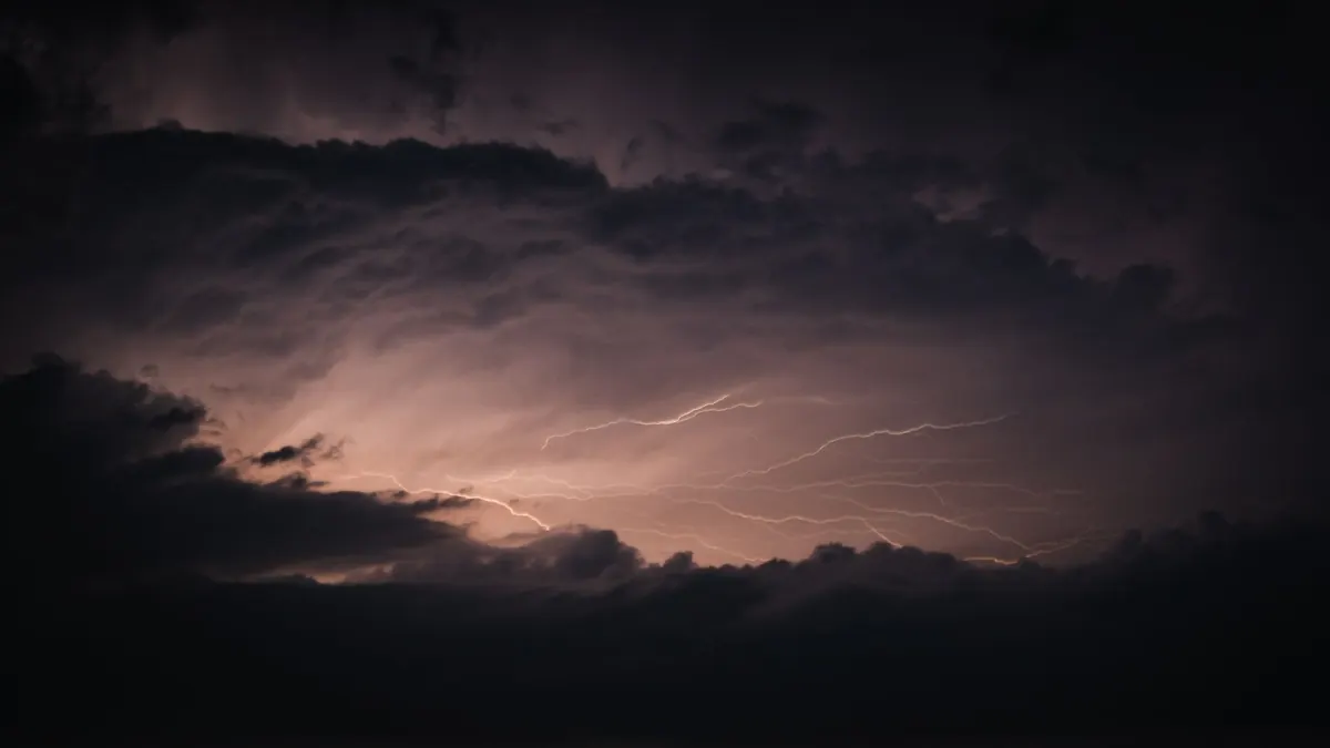
Fair-weather cumulus are the small, cheerful puffs of a clear afternoon. When the tops start rising into cauliflower towers and staying bright and hard-edged, you're looking at cumulus congestus — a cloud with somewhere to go. If the top flattens into an anvil, it has arrived: cumulonimbus, thunder, and a quick retreat indoors.
One more worth knowing: the smooth, lens-shaped lenticular cloud that hovers over ridgelines and looks permanently parked. It forms in the standing wave over a mountain and means strong wind up there, even when the valley is calm.
Words for describing shape
Build a personal word bank and your notes will stop sounding borrowed. These earn their place:
- Sheet, veil, film — flat coverage, no distinct edge
- Streak, ribbon, feather — high and stretched
- Ripple, roll, mackerel — repeating bands, like a fish's back
- Heap, tower, cauliflower, anvil — vertical build
- Ragged, torn, scudding — broken and moving fast
- Soft-edged vs. hard-edged — the single most useful boundary, because hard edges mean the cloud is still growing
A line like "soft-edged heaps, hard white tops, sitting still over the east ridge" beats three sentences of weather report.
Color: the part most notes miss
Cloud color comes from light, angle, and thickness. A thick deck absorbs light and goes charcoal-gray underneath. A thin one transmits it and glows. At sunrise and sunset, sunlight travels a longer path through the atmosphere, so the warm wavelengths survive and the cloud edges pick up pink, apricot, or copper. The same cloud at noon is plain white.
So record the time with the color, always. "Gray underside, gold rim, 7:40 p.m." is a real observation. "Pretty clouds" is not.
Two more details worth catching: virga, the rain that falls from the cloud but evaporates before reaching the ground, which shows as gray streaks hanging below a base. And the occasional greenish cast in a heavy storm cloud, which many observers read as a hail sign. Treat that one as a hint, not a rule.
What the sky is doing next
Clouds are clues, not forecasts, and local terrain can override them. Still, in a journal they're gold, because you can write the prediction and check it later.
- Cirrus thickening and lowering over a few hours — a warm front is often on the way, with rain likely within a day.
- Altocumulus in rows on a warm, humid morning — worth watching for storms by afternoon.
- Flat gray stratus that just sits there — drizzle, maybe, but no drama.
- Towering cumulus with hard white tops early in the day — a coin still in the air.
- Anvil top, dark base, green-gray light — head inside.
- Lenticular over the ridge — wind, and a good day for holding your hat.
Note also the direction clouds move, and whether higher layers move differently from lower ones. When they cross at different angles, the air is sheared, and the weather usually changes within a few hours.
A five-minute field routine
- Write the time, place, and which way you're facing.
- Name the level first — high, middle, low, or building.
- Pick one shape word from your list and one edge description.
- Note the color and where the light is coming from.
- Estimate coverage in eighths: how much of the sky is clouded over? Half is four-eighths. Most is six or seven.
- Sketch the outline in thirty seconds. Silhouette only, no shading.
- Add one sentence of prediction, then check back in an hour and write down what actually happened.
That last step is the whole point. After a season of guessing and checking, you'll stop consulting cloud charts and start reading the sky the way you read a hillside — quickly, and mostly right. The ceiling of your landscape journal will fill itself in.
Photo: Marek Piwnicki / Pexels